
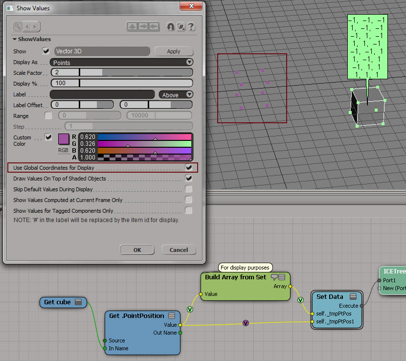
Sometimes it can be useful to turn on Use Global Coordinates for Display. Because otherwise you’re going to be looking at points in local space, and that can mess up your thinking.
Here’s a simple example to show the difference. Purple is global, light green is local. As you can see, the purple points match up with the actual coordinates.
Now here’s a better example of the usefulness of Use Global Coordinates for Display. Red is local (and misleading). Yellow is global. Imagine you’re doing all kinds of coordinate system conversions in a complicated tree, and then you decide to show values as points. If you’re not careful, like me sometimes, you end up doubting everything you’ve done and pulling it all apart.

